Understanding Edmonton’s Flood Maps
At TruHome, we aim to provide our clients with the information needed to make educated choices about buying a home in Edmonton. In 2017 there has been much talk about the release of the Edmonton flood maps and what they mean. One of the most common questions we get related to this topic is: What are the chances of my house flooding?
Of course, the reality is that no one can fully predict the future. However, it is possible to understand how at risk your home may be and what you can do to reduce the chances of flooding.
Understanding Drainage Systems
Flooding can be caused by a variety of factors. The first factor to look at is the City of Edmonton’s drainage system.
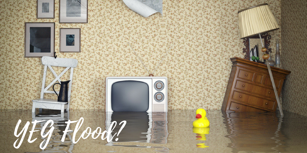
During severe rainstorms, the City’s current drainage system can be overwhelmed, leading to potential basement flooding and/or dangerous amounts of water pooling on streets and roads.
After severe storms in recent years, the City of Edmonton decided to proactively study flood mitigation. This research completed by the City primarily concentrated on Edmonton neighbourhoods built before 1989. The reason newer communities were not reviewed is because they have different drainage systems that are expected to be able to handle more severe storms.
The city modelled a large four-hour rainstorm over each area, which is assumed to be the worst-case scenario for rainfall for Edmonton. Two different issues were looked at in the model: surface ponding and surcharge depths.
We have highlighted the results of this study below. However, more information about Edmonton surface ponding and surcharge depths can be found at the City of Edmonton Data website.
Understanding Surface Ponding
Surface ponding reflects how deep the water would be on the street during a severe rainstorm. The City of Edmonton’s acceptable standard is <0.35m, which is displayed as green on the map below. Orange corresponds to water that would reach half-way up a car, while red indicates water reaching just over the hood, and maroon reflects an even higher depth.
Understanding Surcharge Depth
Surcharge depth demonstrates how full the City of Edmonton’s pipes would get during a high volume rainstorm. As the pipe over fills, the extra flow of water may increase the chance of basement flooding. Red indicates that the pipes are at their capacity.
Historical Flooding
The City of Edmonton has also mapped out all reported historical flooding. To view your Edmonton house with all three pieces of data together, refer to the maps provided by the City related to Edmonton Wide Flood Mitigation.
While this data provides a general idea of what could result on your street, this does not mean it will work exactly as predicted. That being said, the model seems to match up with flood history, and is still a valuable tool to understand where the problem areas in the city may be.
Future Direction
The City of Edmonton council reviewed the flood mitigation study last month, and have decided to move forward with a further risk-based analysis. This is expected to be released in August 2017.
The goal is to figure out the optimal sharing of risk of these extreme storms between the City of Edmonton, insurance companies, and disaster response to be allocated from the federal and provincial tax dollars.
The City of Edmonton is planning to allocate some level of infrastructure funding to help with flood prevention, but at some point it “might cost less to deal with the problem when it happens, if it happens” stated city councillor Ben Henderson , Ward 8 when he was interviewed by the Edmonton Journal.
Understanding River Levels
Another factor when it is comes to flooding is due to the rise of the river’s levels. There have been occasions where some neighbourhoods have been blocked off to non-residents due to high tides. This can certainly cause some alarm.
You can check out Edmonton’s Flood Hazard map to see where the flood hazards for the river and creeks are. Also, if you live in Cloverdale, Riverdale, or Rossdale, you can sign up for Edmonton’s storm and river level alerts.
Steps to Take
After checking out the potential flooding risks related to your home, what can you do? There is excellent information on the City of Edmonton website about flood prevention tips. You may also be eligible for a backwater valve grant. Finally, you can also get a free flood prevention home checkup by calling 780-944-7777.
Protecting Your TruHome
There is a risk with living in any building anywhere in the world. At TruHome, we want to help you be informed and aware of the risks involved and how to possibly reduce those risks.
Have questions or looking for guidance on buying or selling Edmonton Real Estate, get in touch and let’s chat.
Tags: